Educational Trail Hlinná – Kamýk
This educational trail provides information about the geological importance of one part of the Central Bohemian Uplands and its natural-historical context. The trail begins at Hlinná village and runs to Holý hill, Velké hradiště, Plešivec hill and back again.
The individual stops of the trail are marked by information panels indicating site characteristics.
The trail is 10 kilometres long and non-binding – individual stops are not in a thematic order. Visitors can decide themselves on the order of the stops, or choose just a part of the trail. Local attractions include, among others, the Holý Hill Nature Reservation.
Stops
Central Bohemian Uplands
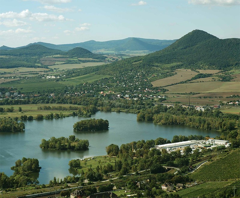
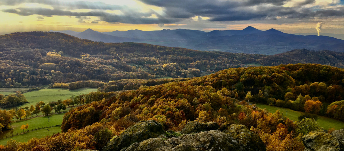
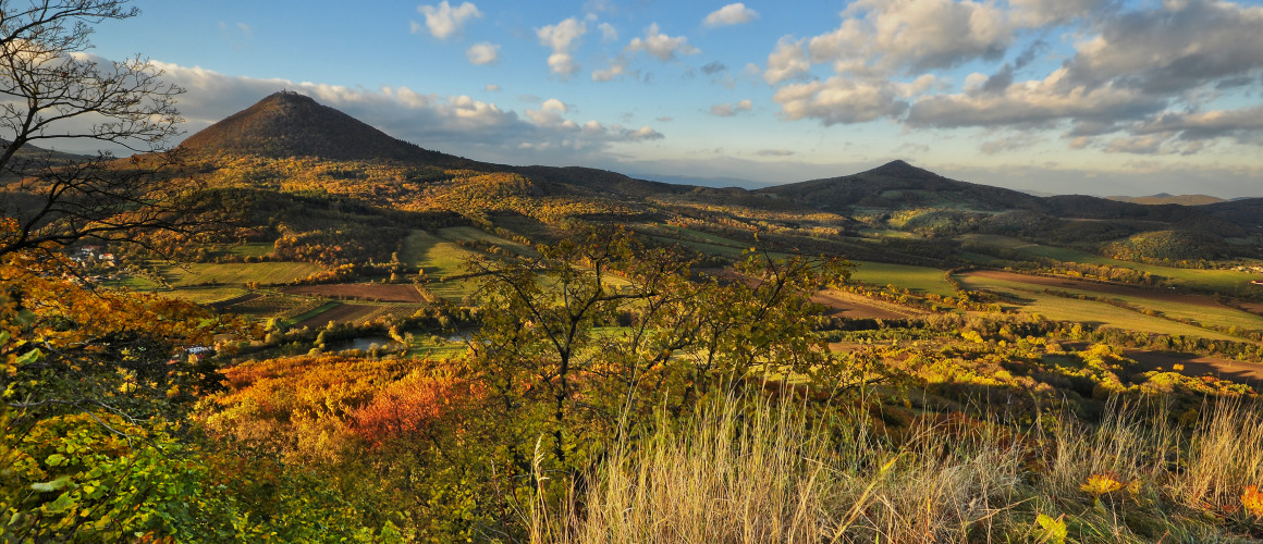
The geomorphological unit of the Central Bohemian Uplands (German: Böhmisches Mittelgebirge) covers an area of 1265 km². From an orographic point of view, it falls into the Podkrušnohorská area, which is part of the Krušnohorské Sudets mountains.
The Central Bohemian Uplands are located, for example, in the districts of Litoměřice and Česká Lípa. 84% of the territory of the Central Bohemian Uplands is in the Protected Landscape Area of the Central Bohemian Uplands which makes up an area of 1063.17 km². The highest point of the Ohárecký mountain range is the peak of Milešovka (837 m a. s. l.) and the lowest point is the level of the Elbe in Děčín (121.9 m a. s. l.).
Geology
The Central Bohemian Uplands with its area (1265 km²), length over 70km) and width (up to 25km) is one of the smaller orographic units.The Central Bohemian Uplands were caused by a volcanic activity and are its most powerful proof in the Czech Republic. Thanks to the Ohárecký rift, that was along the Ohře river, the hot magma surfaced. The basalt rocks dominate the area (73,6%), the rest is made from trachyt and in a small amount of andesite rocks. The area is crossed by the Litoměřice deep fault, which from a geological point of view forms the border between the Central Bohemian and Krušné Mountains areas. There are subsurface bodies (laccoliths) built by solidified magma. Volcanic cones began to rise from the sandstone subsoil in the Late Tertiary, the Miocene (about 23 million years ago). In some places, volcanic rocks pierced the Bohemian Cretaceous Basin in the Pliocene period (4.8 million years ago), typical representatives are Trosky, Kunětická Mountain. The majestic landscape character of the Central Bohemian Uplands is due to the deepened valleys created by the exposure of solidified subsurface magma by watercourses. One of the most beautiful valleys was formed by the river Elbe. It is Porta Bohemica - the Gate of Bohemia. Basalts and phonolites from gaize and sandstone sediments predominate here.
The first geological maps of the Central Bohemian Uplands were created by Josef E. Hibsch, one of the most important European volcanologists.
Contact
Address
Destinační agentura České středohoří
Komenského 748/4
Litoměřice
Website
www.stredohori.cz
Photo Gallery
Galerie - České středohoří