Educational Trail Hlinná – Kamýk
This educational trail provides information about the geological importance of one part of the Central Bohemian Uplands and its natural-historical context. The trail begins at Hlinná village and runs to Holý hill, Velké hradiště, Plešivec hill and back again.
The individual stops of the trail are marked by information panels indicating site characteristics.
The trail is 10 kilometres long and non-binding – individual stops are not in a thematic order. Visitors can decide themselves on the order of the stops, or choose just a part of the trail. Local attractions include, among others, the Holý Hill Nature Reservation.
Stops
Geological structure of the Central Bohemian Uplands
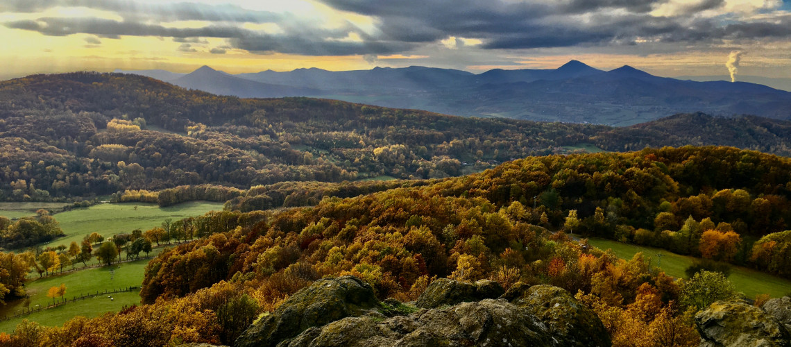
The Central Bohemian Uplands are a well-known area also for their origin with volcanic activity, which is clearly noticeable from the nature of the landscape. From the flat surrounding terrain of the Elbe and Poohří, which is characterized by the presence of relatively soft sedimentary rocks of Mesolithic age, suddenly smaller or larger hills and mountains, based on solid volcanic rocks, emerge.
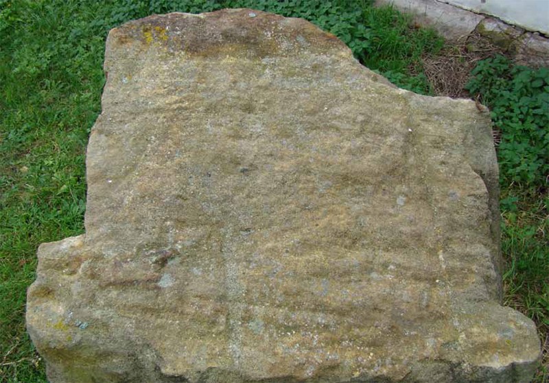
Sandstones and marlstones are among the most important older rocks that can be easily found in the area of the Central Bohemian Uplands or are hidden under layers of younger Tertiary igneous rocks or sediments. Sandstones in our country are mostly of marine origin, they were formed by strengthening the layers of sand at the bottom of the sea in the Cretaceous. The main parts are quartz grains with a diameter of less than 2 mm, which are joined by a quartz, carbonate or clay sealant.
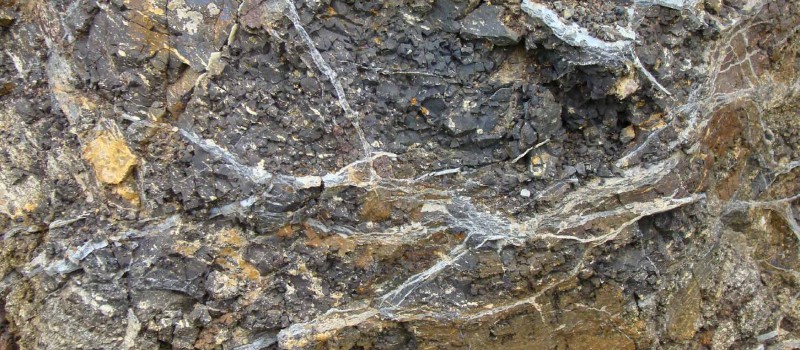
Marlstones and similar claystones and clay limestones are finer-grained marine sediments containing a clay constituent and a significant portion of calcium carbonate. They were stored in the deeper parts of the sea together with the remains of invertebrate shells, which were preserved as fossil evidence of the fauna of that time.
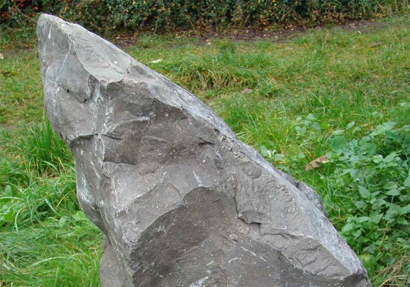
Rocks of volcanic origin were formed during the Tertiary, depending on the movements in the Earth's crust and the formation of fault structures, which became the inflows of hot liquid magma towards the Earth's surface. According to their overall chemistry and the representation of individual minerals, we can distinguish basalts, phonolites, trachyts, nephelinites and related rocks formed by solidification of magma when it is reaching the surface or forming subsurface solids, which were exposed by the erosion of the river network. Another important group of rocks are tuffs and tuffites.
Photo Gallery
Galerie - Geologická stavba Českého středohoří