The educational journey of the robber Stetka
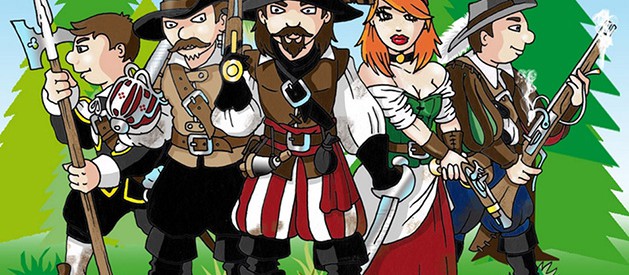
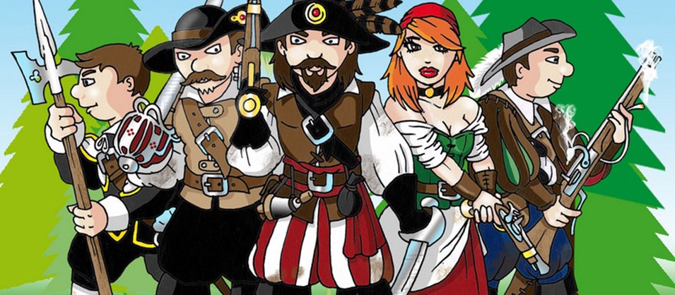
A nature trail around the surroundings of Štětí for the whole family, introducing the history and picturesque nature, industry and agriculture of Štetsko. The legendary robber Štětka and his four-member team are guiding the tour, giving information on a marked circuit starting from
In the old days of the Thirty Years' War, the robber Štětka was the master of the deep forests, fields and hillsides around the town of Štětí. Today, his home is the former Mordloch Cave, hidden away from people in the middle of the Stračen forests. Who knows him in the region. He protects the poor and honest, and justly punishes dishonesty and avarice. He has walked this land many times. He knows every road and footpath here.
During your adventurous journey with the robber Stetka you will come across educational boards that will tell you all about the history, nature, fauna and flora, industry and agriculture of the local region or visit the mythical cave Mordloch of the robber Stetka. You can also try out a discovery competition Following the footsteps of the robbers or robber geocaching.
Stops
Stracki crossroads
The region of Stettin - the local area stands out for its diversity. The unmistakable landscape of forests and rocks, partly encroaching on the Kokořínsko-Máchův kraj Protected Landscape Area, is illustrated by a mosaic of fields and meadows, picturesque villages of "Texas" and the mighty flow of the Elbe River.
The natural beauty is replaced by the unmissable industrial character of the centre of the region - the town of Štětí. The 21 stops of the "Educational Journey of the Štětka Robber" present the past and present of the region and its attractions.
Location of the region Stettin
The Štětska region is located in the south-eastern part of the Ústí nad Labem Region between Litoměřice and Mělník and in the other direction between Roudnice n. L. and the Dokeska hills. The region's location can also be defined as the area between Sovice Hill (272 m), which rises above the bend of the Elbe River near Roudnice n. L., and the Dubská vrchovina, which closes our landscape to the east. The villages are situated near the Elbe River and the Obrtka stream at an altitude of 150-280 metres. The fertile landscape of the Elbe region, once rich in fishing, has been inhabited since time immemorial, long before the legend has it that the forefather of Bohemia was supposed to have ascended to the top of the famous Říp River at the head of our Slavic ancestors.
Texas
The landscape between Štětí, Úštěk and Dubá, covering an area of almost 100 km² in the basin of the middle Obrtka and Úštěkský brook, was given the somewhat pejorative collective nickname "Texas" in the vernacular of the new settlers after the Second World War.
It is used mainly by people of the middle generation, but no one really knows what association with the North American state of Texas played a decisive role in establishing the name. Some people associate it with the fertile soil there, while others tend to associate it with specific, somewhat harsher natural conditions. It may also have been the name of the area to which the so-called "gold miners" headed after the Second World War, hoping to get rich quickly after taking over the confiscated property left behind by the displaced Germans.